adventures in tech, electronics, programming, cartography, geology, data, and augmented realities
Friday, 17 March 2017
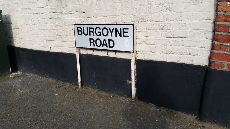
Visiting my Geographical "Googleganger": From Burgoyne Road N4 to Burgoyne Road SE25
I lived on Burgoyne Road for some years but although I specifically set my home address to "Burgoyne Road N4", whenever I tried to use Google Maps to plot a route back home, Google would occasionally send me the directions to "Burgoyne Road SE25" instead of "Burgoyne Road N4". No matter what I did - such as entering in my entire postcode, unit number, landmarks, etc - Google still kept trying to send me to SE25.
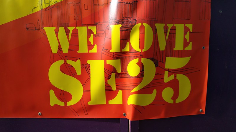
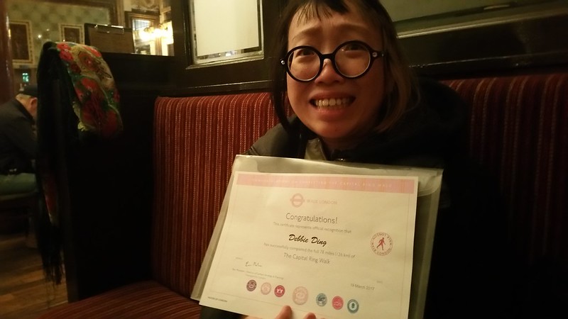
So a few months ago I decided to visit the OTHER Burgoyne Road, the "Googleganger" of my road that I kept being directed to - since I was already passing through Norwood on my Capital Ring walk.
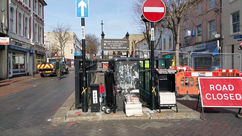
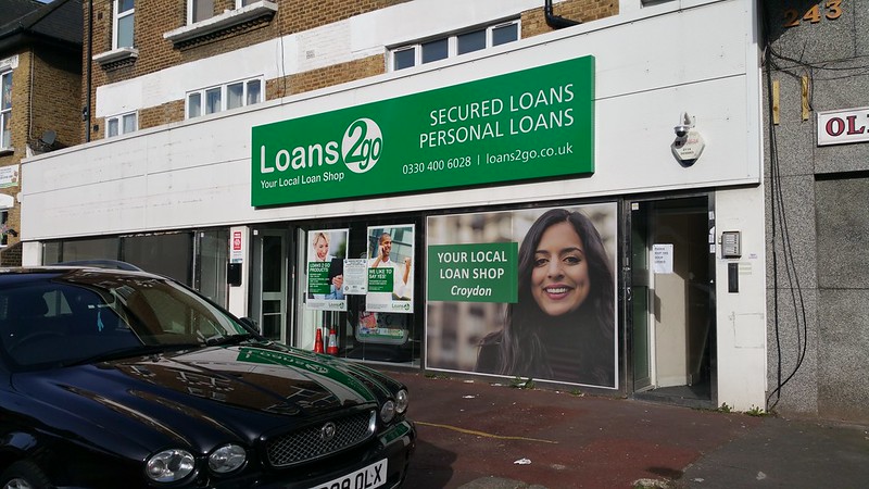
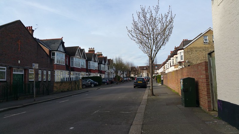
The other Burgoyne Road in South Norwood was a short walk from Norwood Junction, peppered with churches, payday loan shops, chicken shops, and the very average fly-tip strewn suburbia of South London.
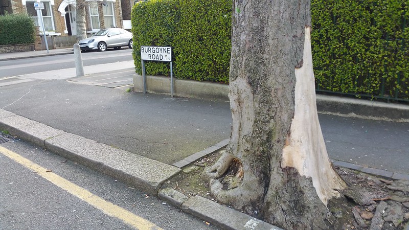
Unlike the very long and dramatically inclined Burgoyne Road in North London, which was situated off the very lively Green Lanes and on the Harringay Ladder itself, the Burgoyne Road in South London here was very short and flat.
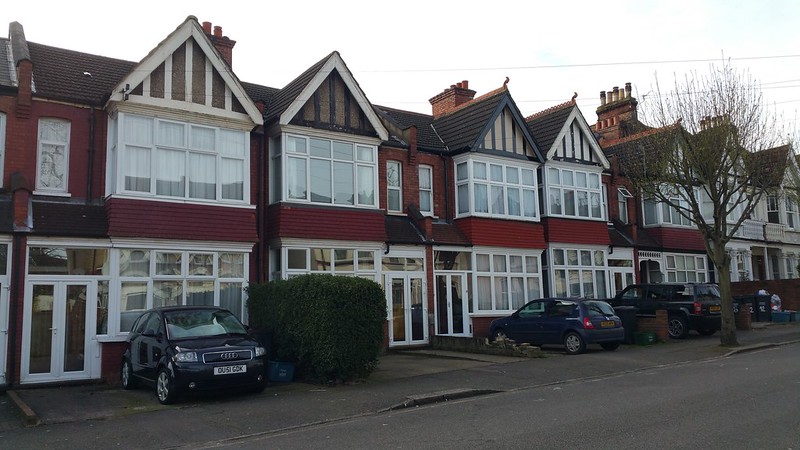
One of these very ordinary houses is the geographical googleganger of my flat in North London.
It was all together very ordinary, but as I stood there for some time on this totally empty road, a woman came out of nowhere. All of my naive youthful excitement must have attracted this strange gypsy lady who then asked me what I was doing standing there. She started what seemed to be a rather normal conversation with me. "I'm from Burgoyne Road in North London!" I told her, "and you're from Burgoyne Road in South London!" "Yes... Yes... very nice." She smiled... following which things took a surreal turn and she suddenly turned a bit nasty and refused to let me leave unless I gave her money immediately. IMMEDIATELY! IMMEDIATELY! "But why?" "Because I have a baby." "Ok, but that doesn't answer why?" Even when I said I had no cash on me, she said she would take to me to the cash machine where I could draw money and give it to her a la daylight robbery! Very strange. But why would I give her all my money just because she was holding my arm and verbally insisting that I do so? I found myself running away from this Burgoyne Road...
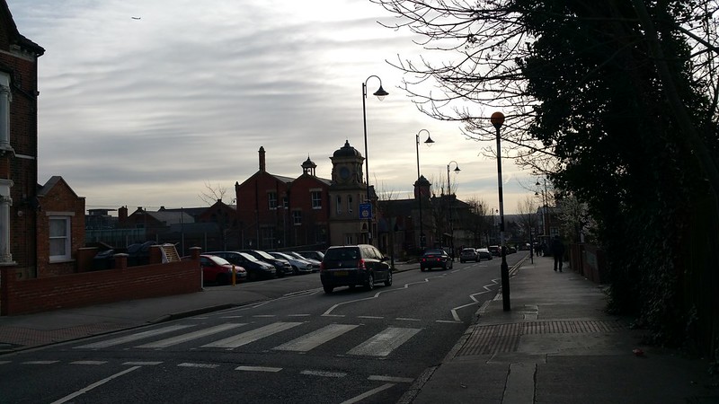
The neighbourhood didn't seem so friendly after the weird experience. As I ran further down this claustrophobic road, a cyclist zoomed past a pedestrian in the vicinity too quickly and I heard a woman yell "WATCH WHERE YOU'RE GOING, WANKER!!!" - followed by another very demonstrative shout "SORRY!!!!?!?!!"
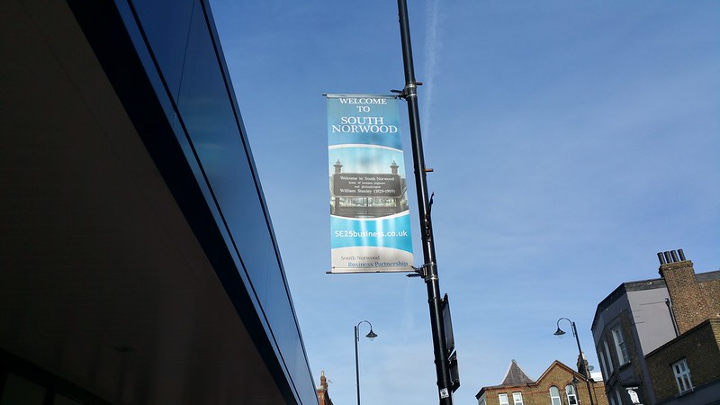
UH, WELCOME TO SOUTH NORWOOD, I GUESS...?
Labels:
burgoyne road,
capital ring,
haringey,
harringay,
london,
norwood
Tuesday, 14 March 2017
Capital Ring #1: Stoke Newington to Hackney Wick
Stoke Newington to Hackney Wick
Distance: 4 miles / 6.4 km
Feels like: a breeze through the marshes
Date: 14 March 2017
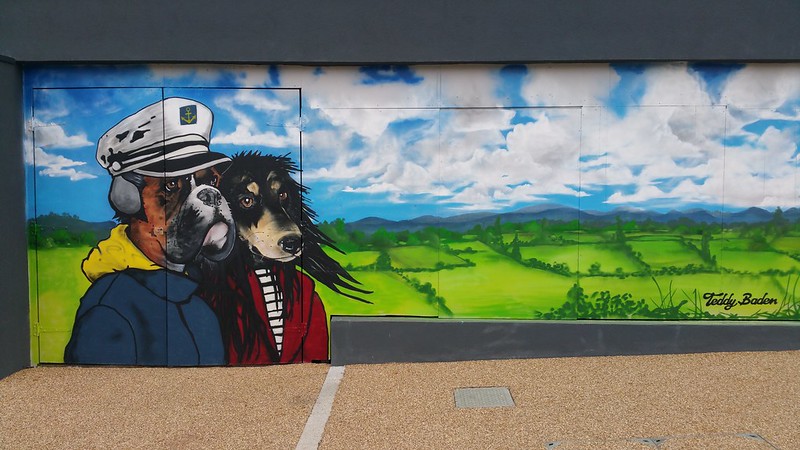
A Return to the Rochester Castle - Springfield Park - Wilsons Hill - Avroplane crash landing site - Hackney Henge - Wick Woodland - Giant dogs with headphones and hoodies - Approaching Olympic territory
This is the start of 15 posts about how I did the Capital Ring in 6 days...
THIS IS HOW IT ENDED:
AND THIS IS HOW IT BEGAN:
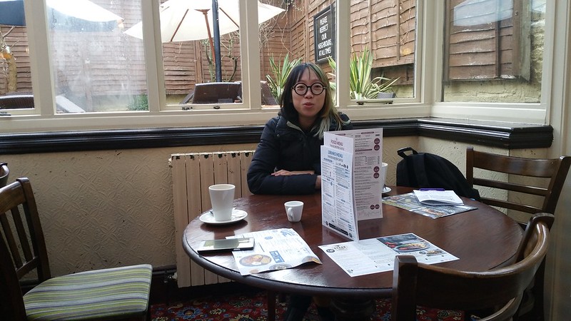
The walk usually begins in Woolwich, but I decided to start my loop in Stoke Newington. The first time that I came to the UK, the first area that I landed in happened to be Stoke Newington, and the first establishment I went to was also the splendid Rochester Castle which has the distinct honour of being the oldest Spoon, with its skylights, carpets, strange paintings, and wooden box seating. The familiar red-wine-and-pepper stained carpets of the humble Spoon! The extremely reasonable prices! So it seemed only fitting to begin my walk here with a hearty hot (kid-sized!) breakfast...
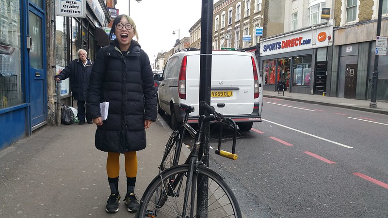
THE START! THE START! Why do I always make this unfortunate face on camera.
Most of Stoke Newington and Stamford Hill is already intimately familiar to me, having lived around those parts over the years. These parts of Hackney are scattered with these large rocks embedded into the pavement at junctions, and lots of community scribblings engraved into the pavement. At certain hours one also sees a lot of the Hasidic Jews with their distinctive hats (and secretive lives) quietly crossing from building to building.
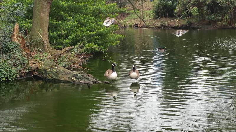
Ducks of Springfield Park
The first significant stop on this walk is Springfield Park, which I personally always seem to forget the name of, until I am there, because its name sounds so generic. Springfield is one of those words like Sunnyvale (SEE ALSO: TRAILER PARK BOYS, HOUSOS). I'm not sure if the name Stamford Hill refers to any particular hill really, but if it were to be a hill this is the point at which Upper Clapton riseth-upper to a peak, thus it involves what some would say is an open slope down into the valley of River Lea. But of course in Debbie's world this hill is a potentially vertiginous tumble that reminds me of that one time I got on a bike in this park, instantly almost fell off it, and concluded that combination of said bicycle and hill was most certainly a DEATH TRAP.
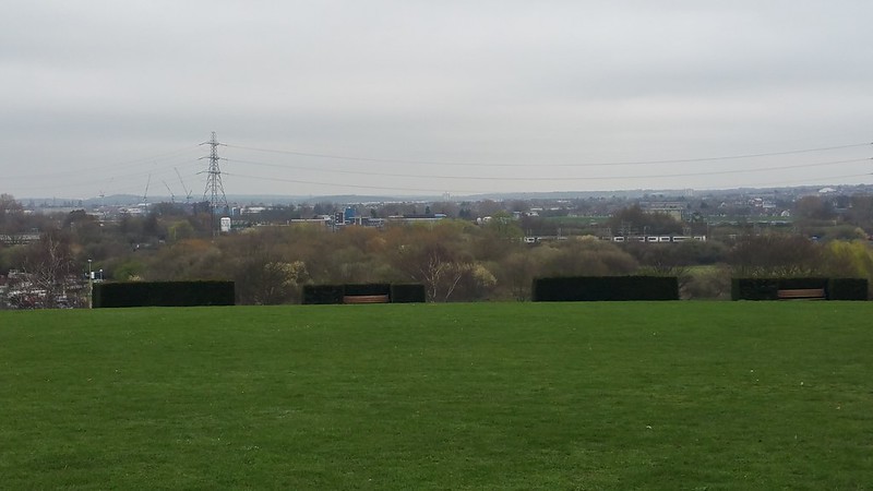
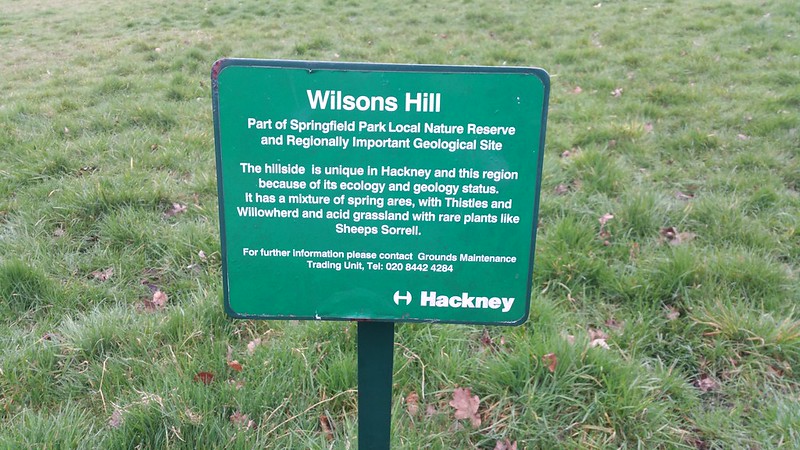
The most prominent part of the hill, also known as Wilsons Hill, has existed here for at least 200 years in this singularly sloped form.
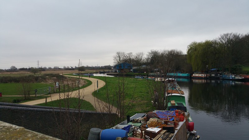
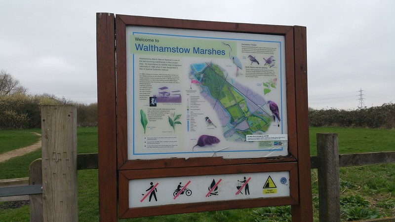
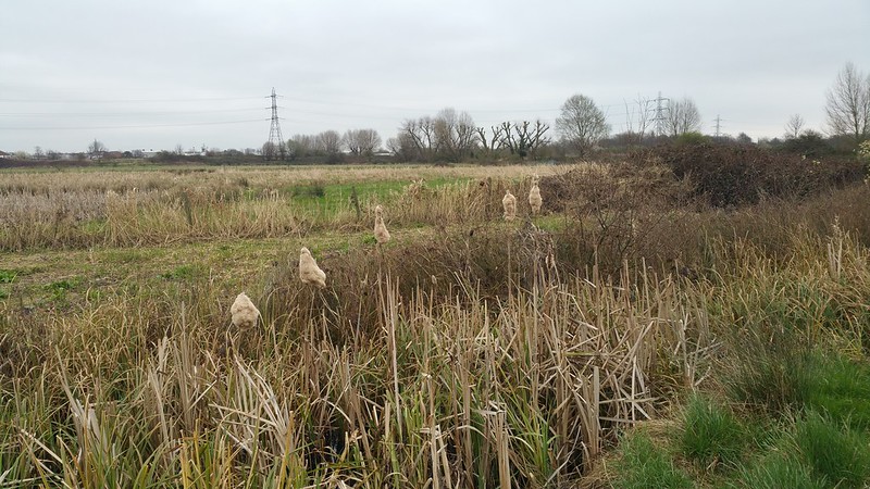
From the northern end of Springfield Park, there's a gate and footbridge leads out into the Lea Valley's Walthamstow Marshes. Variously spelt LEY, LEE and LEA, its original name was Ley, but it was more commonly written as Lea on maps, whilst Acts of Parliament referred to it as Lee. Ultimately it was decided that natural elements of the river would be spelt as LEA and man-made features would be spelt as LEE. As the natural river winds through here, it is spelt as LEA.
As there is very little to hold on to, this part of the Lea Valley, as with other parts of the Lea Valley I've walked along is vertigo territory for me. But I'll get back to that later.
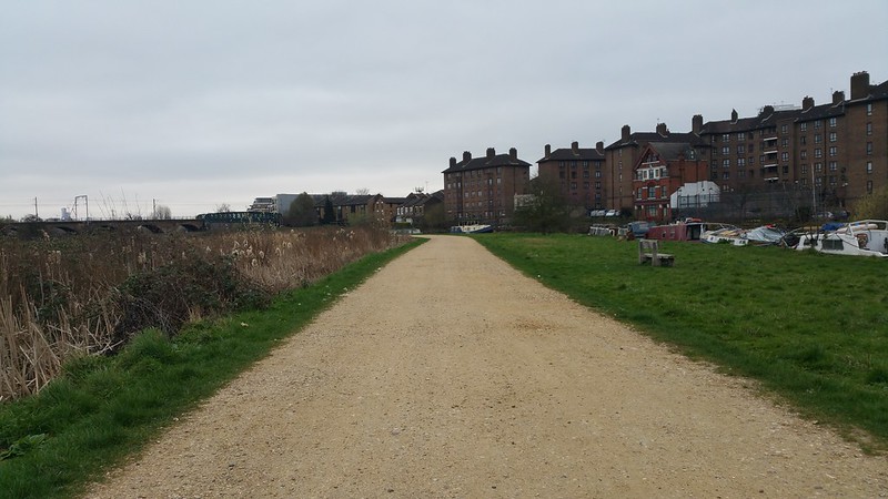
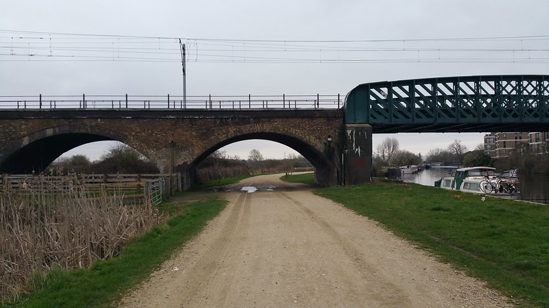
The open sandy track goes under a railway arch under which Aliot Verdon-Roe rented in 1909 to build his "Avroplane", the first all-british tri-plane. He used the soft marshes of Walthamstow for his flight and crash landings. If you've ever seen one of these early experimental airplanes up close, it consists of wooden sticks and control cables and flaps and its one of my favourite eras of airplane building since it was so much so a prototype in progress and its an absolute marvel these precarious contraptions ever flew...
Kings Head bridge
Middlesex Filter Beds
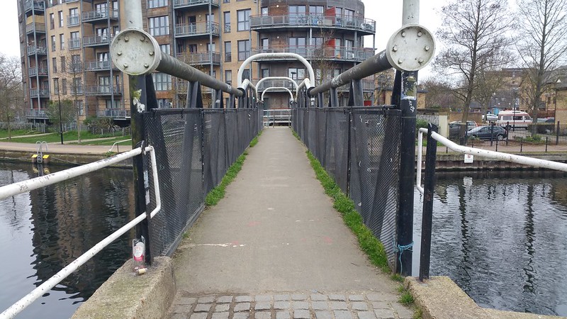
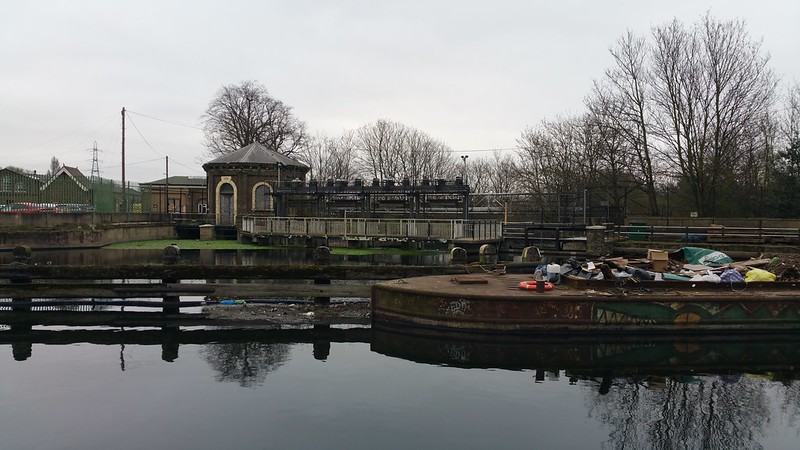
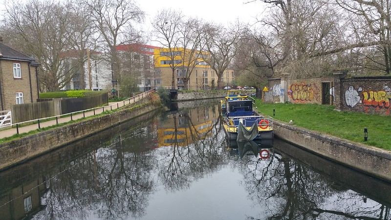
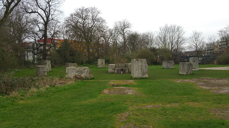
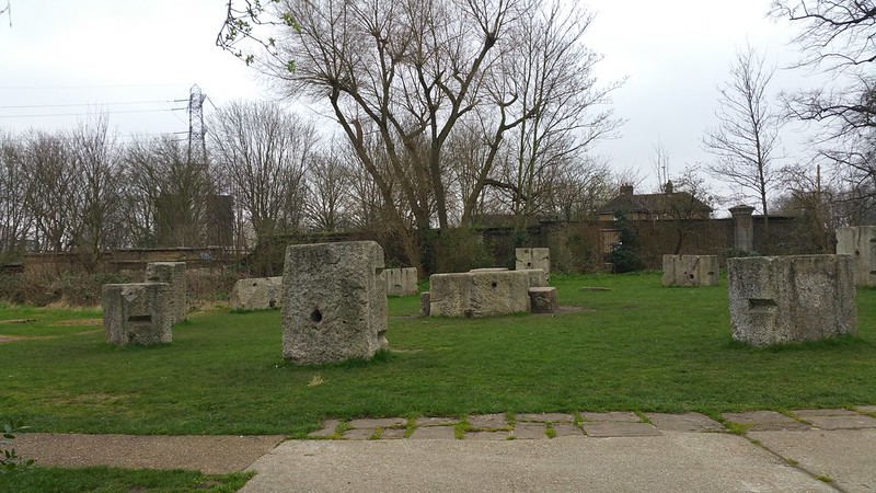
Continuing on via the heavy black "Kings Head" footbridge to the canalised section of the Lee Navigation, one eventually passes the Middlesex Filter Beds on the left, more commonly known as the Hackneyhenge because huge blocks of granite formerly used as the foundations of the engine house have been converted into a mini Stonehenge.
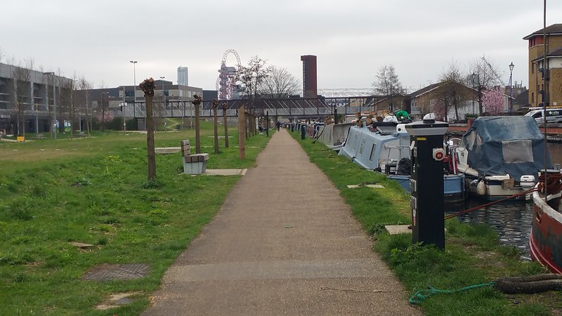
The canalway follows on for quite some distance, passing quite a lot of plane trees (including a giant dead plane tree cracked into two).
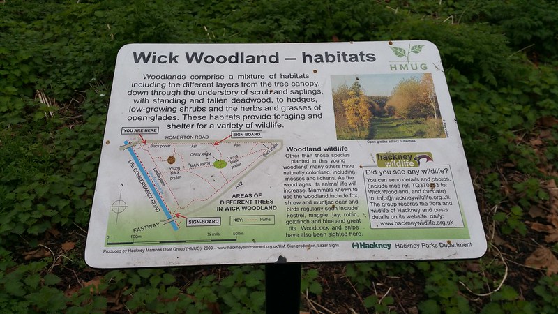
As recent as 1995 all of these woodlands did not exist; beyond the trees, the Hackney Marsh once were the site of WWII gun emplacements and bunkers. After the war its vast open space were used as football pitches, until the 90s when it was decided that part of the space would be converted back to woodland. The success of the woodland has been due to planting programmes as well an episode of accidental flooding in 1997 (water mains burst!) which attracted ducks and other waterfowl to move in on their own accord.
Wick Woodland
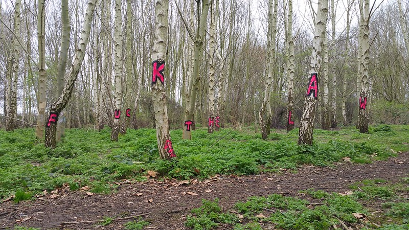
Further down there is Wick Woodland - from a distance I saw some splotches of bright pink and could not resist walking towards it until I found the magic spot where one could see the message...
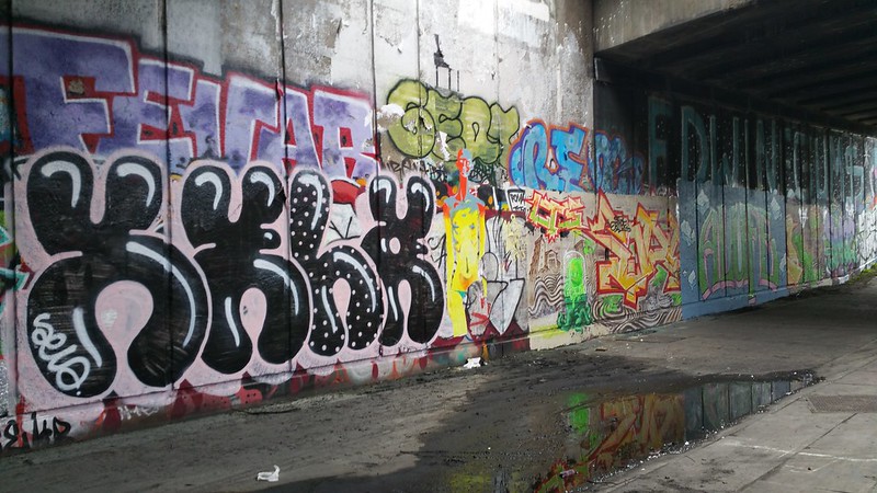
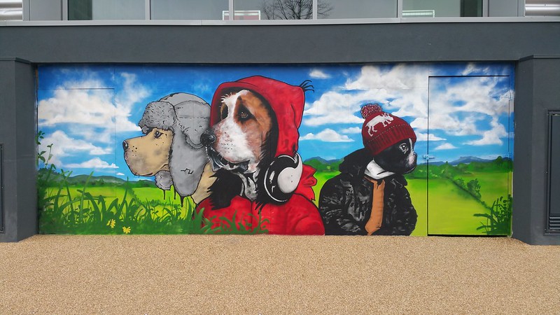
This segment of the walk ends at White Post Lane, just after a well-graffitied bridge and several giant murals of urban dogs, and we're entering into Stratford Olympic territory proper...
The visible change in the landscape says we're entering Stratford!
Wednesday, 8 March 2017
Parks of New Barnet and East Barnet: A Walk along Pymmes Brook
Ah, you there, bucolic stream of silver that trickles through the rolling hills of old...
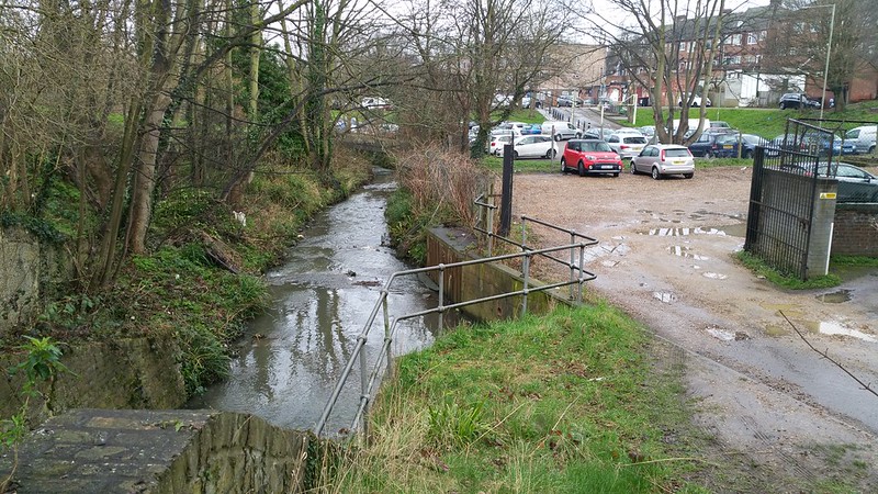
Well actually... here we are by the Pymmes Brook, which runs next to a carpark. A big sandy functional carpark, which I have to admit sort of breaks up a walk that one might have along Pymmes Brook, which is a modest brook (a small minor tributary of the River Lea) that is more famous for being troublesome and being the source of floods, rather than for its natural beauty.
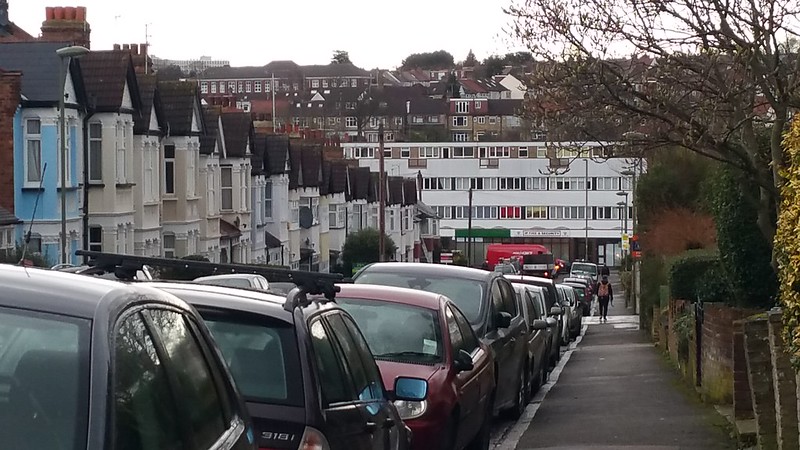
Here is a documentation of a walk through the rolling hills of New Barnet. You might ask, in what way is New Barnet new? Well its just a mile away from the so-called original High Barnet, so named because of the High street being located there, although High Barnet is also supposed to be one of the highest settlements in London itself. This is the approach to New Barnet from Oakleigh Park. Rolling downwards towards the lowlands of Tottenham, as it were.
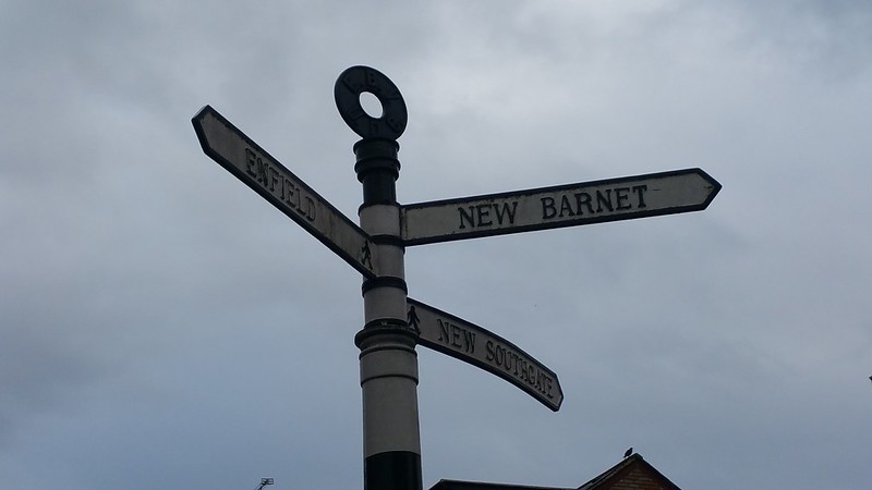
An old sign of New Barnet
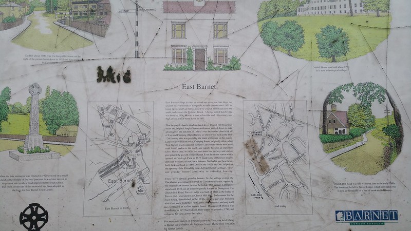
Another sign about the history and heritage - fighting the good fight to remain legible before being scratched off with graffiti...
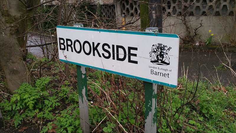
I love that this sign is in caps. Its like someone unreasonably shouting BROOKSIDE at you.
Something draws me to this place. It could be the quaint little public toilet in the middle of this scene, next to all the bins stacked higgledy-piggledy together.
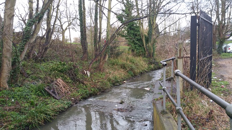
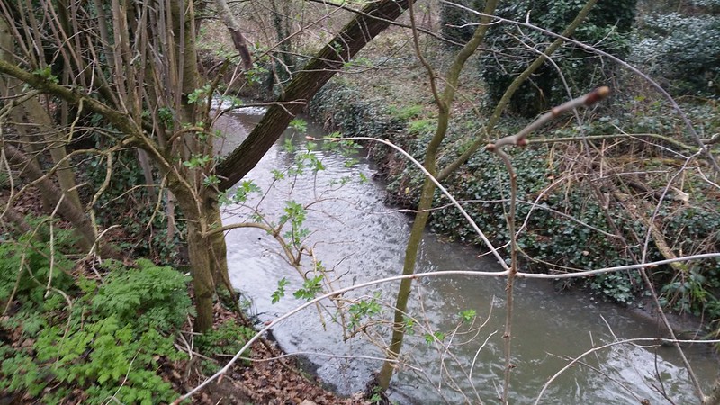
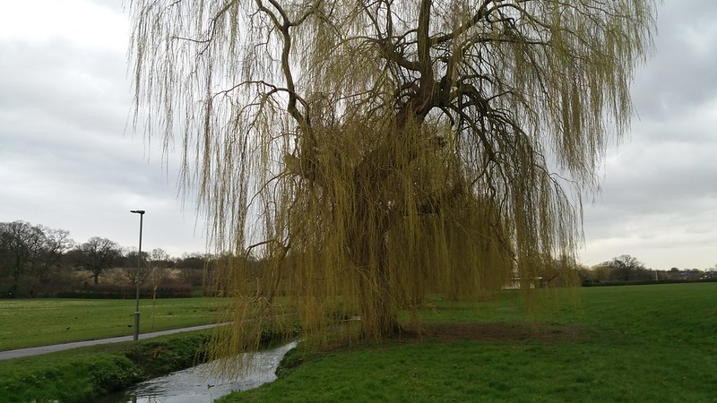
Although this is in an extremely residential and dense area of Barnet, the Pymmes Brook offers some escape...
You can, for a moment, pretend that you're in some wooded forest.
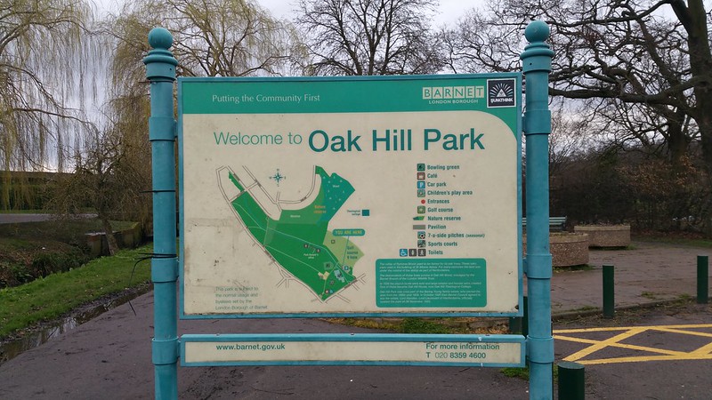
If you follow the river southwards you'll get to Oak Hill Park.
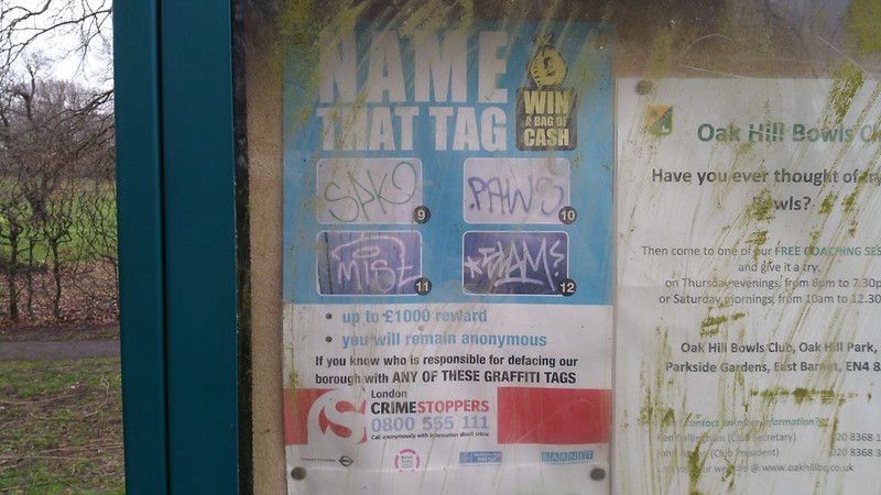
No jokes, they're asking for people to identify graffiti tags here.
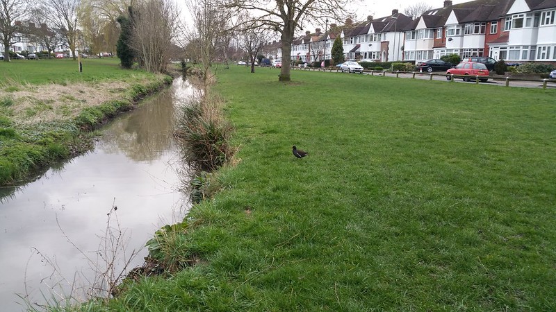
Going further south it enters more endless residential suburbia.
As I trod noisely along the banks of Pymmes Brook, I alarmed a wee little moorhen. Also known as 'skitty coot' because they are the most nervous of waterfowl that churps and twitches its tail nonstop whilst fleeing when it sees huuuumans.
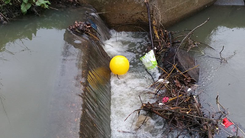
Naturally, there were balls to be found in Pymmes Brook. It seems that on every single walk I seem to find a lost ball.
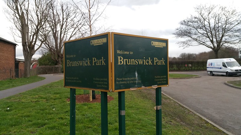
Pymmes Brook leads me into Brunswick Park.
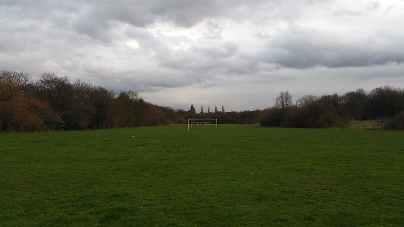
It is a genuinely lovely park with an expansive field and lots of beautiful grand trees to the right. Pymmes Brook still runs to the left.
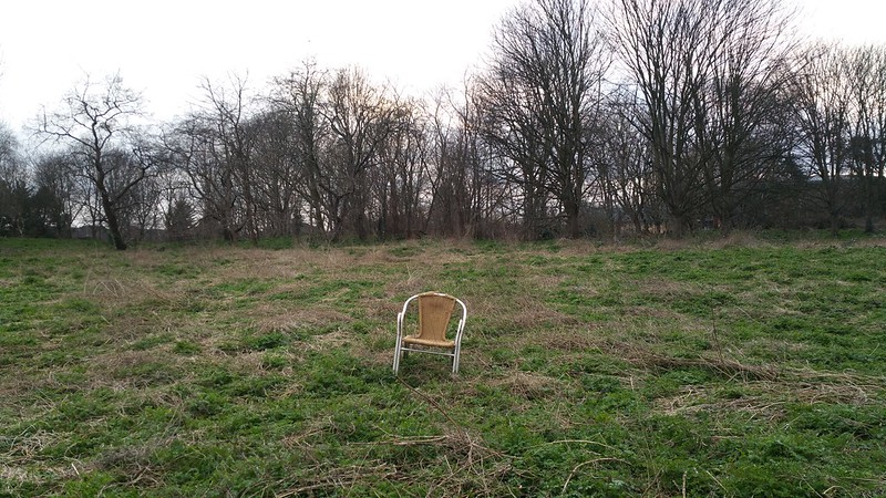
And scenes like this.
There were many open pathways in this park and it had the ability to make you feel like you were in a huger park than just somewhere in Barnet.
Problem is that I still wanted to follow Pymmes Brook, but for some reason if you follow Pymmes Brook into Brunswick Park, it just stops with a huge hill in its way. There was no way around this hill it seemed. So... I had to go up this hill.
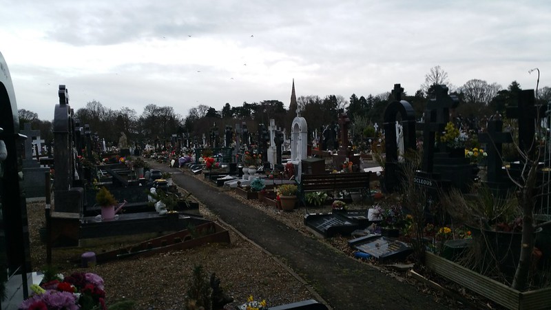
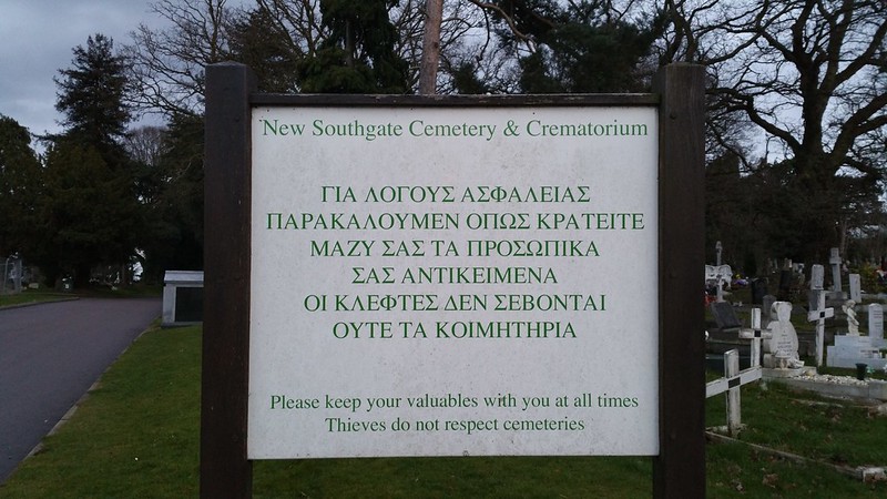
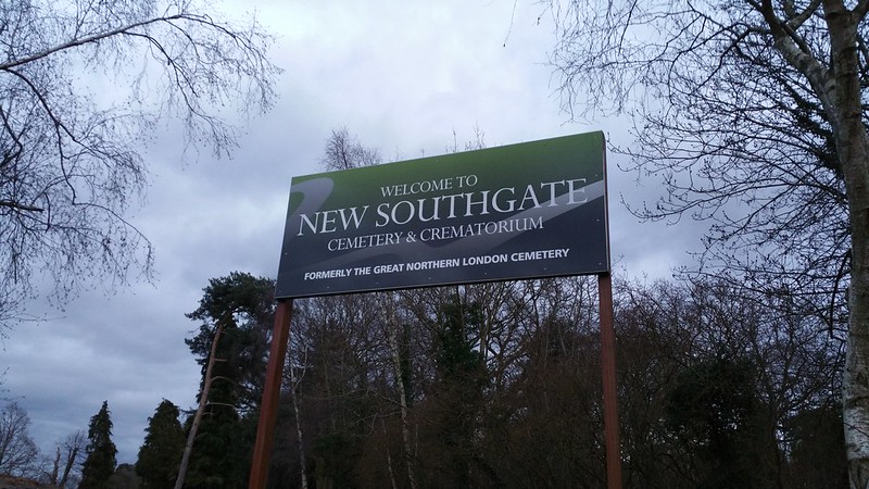
After crawling up some muddy hill (also because I am very bad at climbing and ascending slopes) I found myself mysteriously inside a cemetery!!! Was there a better way to go about going from Brunswick Park into the cemetery? I don't know but I also hadn't expected that it would be such a vast cemetery.
Worse still, I could see from the light that it must be getting very late (ie: the sun would set at 4 or 5pm) and in winter most cemeteries don't open till late! Meaning there was a genuine risk of being locked into this cemetery...
So I began running for the gates of the cemetery.
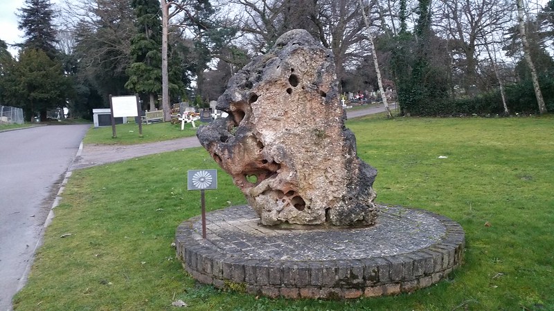
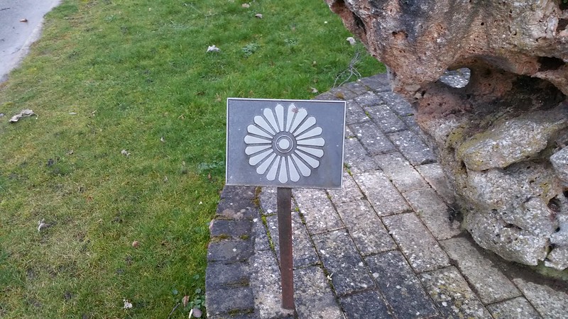
Along the way I saw this curious rock with a flower logo next to it.
Just a flower symbol. I still don't know what it is. Any ideas?
I made it out of the cemetery just in the nick of time but by now it was too late to try to find where Pymmes Brook eemerged on the other end of the Former Great Northern London cemetery.
So I eventually found my way back to New Southgate Station where I could get straight home from...
The Walk:
Subscribe to:
Posts (Atom)